This Self-Driving Car Finds Its Own Way
While most self-driving cars are often limited to pre-mapped road systems and make use of a cache of 3D models to help them find their way, researchers at MIT’s have developed a navigation system that lets autonomous cars navigate roads less traveled.
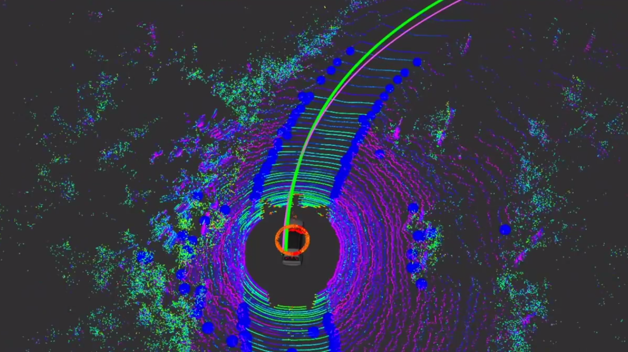
“The system first sets both a final destination and what researchers call a ‘local navigation goal’, which has to be within view of the car,” explained the team from the Computer Science and Artificial Intelligence Laboratory.
“Its perception sensors then generate a path to get to that point, using LIDAR to estimate the location of the road’s edges. MapLite can do this without physical road markings by making basic assumptions about how the road will be relatively more flat than the surrounding areas.”
Although real-world implementation is miles away, MapLite could help open the potential of self-driving cars beyond cities and highways.
“I imagine that the self-driving cars of the future will always make some use of 3D maps in urban areas,” said CSAIL graduate student Teddy Ort. “But when called upon to take a trip off the beaten path, these vehicles will need to be as good as humans at driving on unfamiliar roads they have never seen before. We hope our work is a step in that direction.”
Category: General Update, News


