


Greyhound Partners with Google Maps for Connected Customer Travel
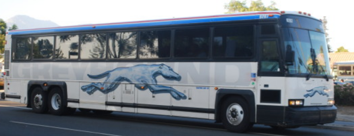
Greyhound, the largest provider of intercity bus transportation in North America, has announced a partnership with Google Maps that allows customers to plan trips more efficiently, and seamlessly connect to Greyhound schedules and other transit options.
By integrating Greyhound’s network with Google Maps, customers will be able to personalize their travel by exploring routes and locations at a street-level view, planning connections with other modes of transportation, and get walking directions from various transit locations. Google Maps supports multiple languages and also links to www.Greyhound.com so customers are able to purchase tickets from where they are.
Through Google Maps, customers can travel from their location directly to their final destination while viewing their travel route on their mobile device or computer. Google Maps offers customers a better way to travel and helps their trips run more smoothly from start to finish. In addition, Greyhound offers more than 250,000 city pair options, which are now connected to Google Maps so customers are more connected to Greyhound and their travel. Customers may also view Greyhound’s routes when they search for directions using Google Maps.
Category: General Update
Subscribe
If you enjoyed this article, subscribe to receive more just like it.